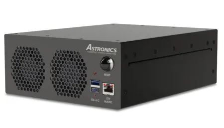
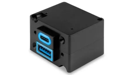
The business and private aviation market now has the choice of two new moving maps from FDS Avionics – do 3D (pictured left) and do 2D (pictured below). The standalone hardware solutions depend on technology created for FDS Avionics’ do Capsule.
Customers of the do 3D map can choose various 3D views and levels of detail, up to 15m² per pixel, while do 2D shows satellite imagery at up to 20m² per pixel.
The maps can be displayed on a bulkhead screen. A wireless upgrade – available for both – adds the capability for interactive viewing on mobile devices, whereby passengers can alter the viewing angle with a finger swipe. This option also enables wireless control using the do Capsule. Via the aircraft’s avionics system, the maps can offer additional information including speed, altitude and ETA.
In fact, both maps feature heads-up flight data, relative city locator, a customizable library of points of interest, and the ability for passengers to pan and zoom.
March 7, 2017


